
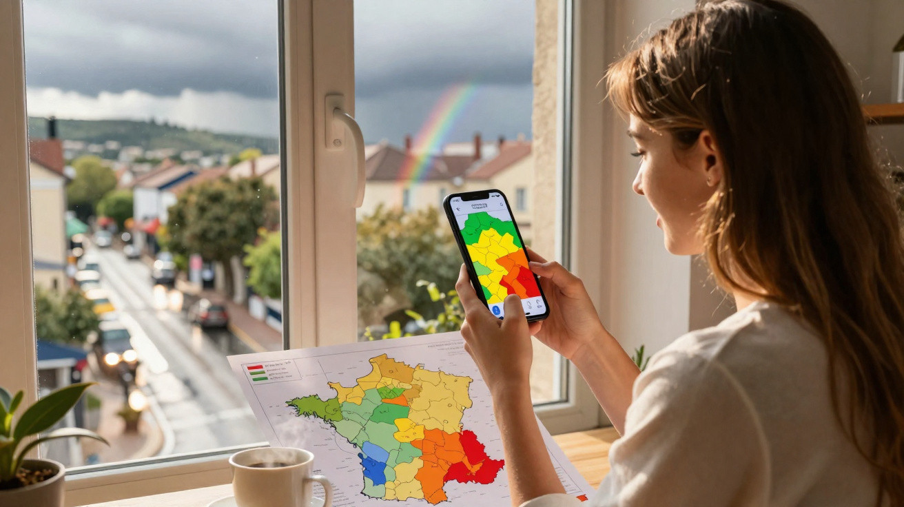
On a Tuesday morning, within the same department, one motorist may be driving under almost calm skies while, 40 kilometres away, firefighters are already dealing with trees brought down across the road. Until now, the vigilance map could sometimes suggest that the whole area was experiencing the same weather. That was not always wrong, but it was not precise enough to reflect what was really happening outdoors. Météo-France is updating its system: high winds, thunderstorms, rain and flooding, and snow and ice can now be pinpointed far more accurately within a department. It is a change that matters directly to people checking their phones before setting off, taking children to sport or leaving for work. The weather forecast is becoming more grounded in local conditions.
A map that better reflects what residents see from their windows
We all know the moment when a weather warning appears on a phone while the sun is still shining in the garden. The new vigilance display is intended to narrow precisely that gap: a department may remain subject to a risk, while the areas exposed within its boundaries are shown more clearly. A valley, coastline, mountain range or strip of land crossed by a storm front can therefore stand out more distinctly. The vigilance colour continues to serve as a collective warning, but it is less abstract to interpret. The focus is no longer solely on an entire administrative area, but also on the places where danger is genuinely expected.
Consider a high-wind event in Bouches-du-Rhône: the mistral can sweep fiercely through the Rhône valley and exposed areas, while some urban or sheltered locations experience much weaker gusts. The same can happen during a summer thunderstorm in Puy-de-Dôme, where intense rainfall can hit a handful of towns in an hour while leaving the rest of the department untouched. With this update, vigilance does not claim to forecast the weather down to the metre; it helps identify the most exposed areas. That distinction is valuable when a decision as straightforward as travelling may depend on a few dozen kilometres.
This greater precision reflects a stark meteorological reality: dangerous weather does not follow departmental boundaries. A thunderstorm may drop 50 millimetres of rain over a small area, trigger surface-water flooding, then move away without affecting neighbouring towns. Wind follows the contours of the land, snow settles at one altitude and disappears a few kilometres lower down, while waterways respond according to their catchment. The map does not replace looking at the sky; it helps people understand it better. For Météo-France, the challenge is to retain a clear warning that can be understood in seconds without obscuring the local variations that matter in everyday life.
High winds, thunderstorms, rain and snow: using this more detailed vigilance system
The right approach is to check the map, then open the accompanying bulletin before going out. An orange or yellow warning does not have the same implications depending on the predicted phenomenon, the timing and where someone is located. Before travelling, it is important to look at the actual route rather than just the departure town: a mountain pass road, wooded area or route near a watercourse may cross the most vulnerable zone. Local information from the prefecture, local authorities and road operators usefully supplements the vigilance map. Five minutes spent checking could prevent a three-hour wait in a stranded car.
A common mistake is to assume that an area not specifically highlighted is completely safe. Boundaries on a map are not walls: a storm can spill over, a gust can catch people unawares and a heavy shower can shift location. Let us be honest: hardly anyone does this every day, particularly between coffee, getting the children ready and catching a train. Yet when an event has been forecast, checking how conditions are expected to develop during the relevant hours is better than relying on the weather checked the previous day. Vigilance is a prevention tool, not a bulletin designed to frighten people or automatically cancel every plan.
The most useful reading is one that connects the map to each person’s own circumstances: where am I, at what time, and for what purpose? As Météo-France regularly points out,
“A weather vigilance warning indicates a potential danger: it encourages everyone to adapt their behaviour to the local situation.”
A few simple precautions can help prevent unpleasant surprises:
- postpone a non-essential journey on an exposed road;
- secure objects that could be blown away before strong gusts arrive;
- avoid basements, fords and riverbanks during heavy rain;
- prepare suitable equipment when snow or ice is forecast.
This new level of detail does not reduce the need for caution; it simply makes caution more targeted.
An expected change in a country with sharply contrasting weather
This refined map also says something about France: it is a country where contrasts can be striking within a single day. In the same department, people along the coast may be watching waves and gusts, while those inland are concerned about thundery rainfall. In mountain areas, a difference of a few hundred metres in altitude can turn cold rain into heavy snow. Localised vigilance responds to this diversity without requiring the public to become meteorologists. It provides more practical information for people who need to decide immediately whether to return home earlier, reschedule a delivery, keep children indoors or secure a worksite.
Local authorities and emergency services should also see an immediate benefit. When an event is mapped more accurately, municipalities can issue more relevant messages and focus resources on the areas most likely to be affected. This does not mean forecasts become infallible: weather retains an element of uncertainty, especially thunderstorms. However, distinguishing more clearly between a widespread threat and a locally severe risk helps avoid two pitfalls: dismissing an overly broad warning, or feeling overlooked because a particular area is not clearly shown. Well-understood information can save everyone time.
One very practical question remains: will the public actually consult this level of detail? Many people still rely on a weather icon or a quick notification, often read between appointments. Local media, town halls and apps therefore have a role in explaining the map without dramatising it. Weather risk is never only a matter of numbers or colours; it affects an outdoor market, a school, a home-care round or a hike planned for weeks. As the warning becomes more precise, everyone can also share what they observe, without turning every dark cloud into a predicted disaster.
| Key point | Detail | Added value for the reader |
|---|---|---|
| Refined vigilance | Dangerous weather can be located more accurately within the same department. | Makes it easier to identify areas near home or along a journey. |
| Four risks covered | High winds, thunderstorms, rain and flooding, and snow and ice are central to this more detailed interpretation. | Helps people adapt decisions to the weather phenomenon actually expected. |
| Useful habit | Check the map, timings and local guidance before travelling or taking part in an outdoor activity. | Avoids underestimating a highly local risk or needlessly abandoning plans. |





Comments
No comments yet. Be the first to comment!
Leave a Comment