
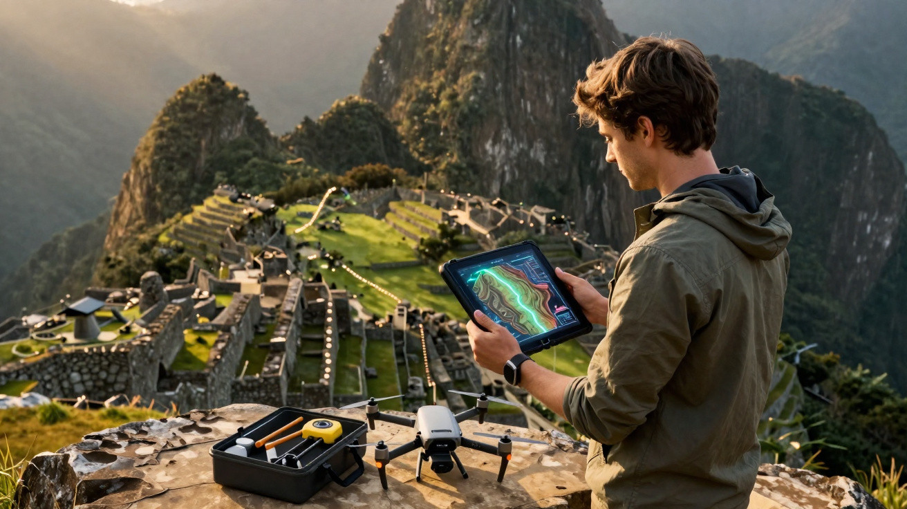
More than a century after Machu Picchu became world-famous, the vegetation around the citadel can still conceal entire structures. A LiDAR survey has identified over 2.5 kilometres of pre-Hispanic paths, as well as possible terraces and platforms, indicating that Machu Picchu’s archaeological landscape may extend far beyond what visitors can see.
What did the lasers find near Machu Picchu?
The discovery was made near the Mandor wall, east of the Machu Picchu llaqta, during preliminary work undertaken in July 2026. According to Cusco’s Decentralised Directorate of Culture, researchers recorded more than 2.5 kilometres of previously undocumented paths, alongside potential platforms and terraces obscured by vegetation.
The most notable feature is a main road measuring at least 1.2 kilometres. Its route displays characteristics consistent with Inca construction methods, including a zigzag alignment. Archaeologists stress, however, that further research is needed before its date can be confirmed and its precise purpose established.
How can LiDAR see through the forest?
LiDAR works by emitting laser pulses and measuring the time taken for the light to return to the equipment. By processing millions of these readings, researchers can create detailed terrain models and digitally remove much of the plant cover, exposing changes in the ground that may point to hidden human-made structures.
In Machu Picchu’s steep, forest-covered landscape, the technique helps guide future investigations towards locations that would be difficult to identify simply by walking across the surface. The evidence highlighted by Peruvian authorities includes:
- More than 2.5 kilometres of pre-Hispanic paths hidden by vegetation.
- A main road extending for at least 1.2 kilometres.
- A zigzag route compatible with Inca construction techniques.
- Possible platforms and terraces still awaiting detailed archaeological investigation.
Does the discovery reveal a much larger Machu Picchu?
It strengthens the view that the celebrated citadel should not be considered in isolation. UNESCO itself describes the sanctuary as a landscape comprising secondary centres, roads, trails, irrigation channels and agricultural terraces distributed across mountainous terrain. The newly identified routes add to this puzzle and may explain how different areas were linked.
The Mandor area is considered particularly significant because it may have played a role in organising movement and land use around the Inca city. Establishing where these paths began and ended could reveal links to agricultural zones, other structures or settlement areas that are now almost entirely concealed beneath the forest.
Watch the video shared by the YouTube channel Flash Discovery, which shows the discovery at Machu Picchu using a laser sent through the forest.
Who is investigating the hidden paths?
The research is the result of a partnership between the Centre for Andean Studies at the University of Warsaw and Cusco’s Decentralised Directorate of Culture. The survey was led by researcher Jan Kłaput, while Bartłomiej Ćmielewski, of Wrocław University of Science and Technology, was responsible for deploying the advanced remote-sensing technologies.
Jeff Rocky Contreras Soto and Paweł Dąbek also took part, with fieldwork supervised by Nino del Solar Velarde. Maritza Rosa Candia, executive director of DDC Cusco, said that new technologies are substantially expanding knowledge of the territory and helping to direct future research and conservation work.
What do archaeologists want to find out next?
The next phase will move beyond digital maps to examine the structures directly on the ground. DDC Cusco has ordered targeted studies to determine the remains’ chronology, construction features, function and state of preservation, as well as to assess protective measures. Machu Picchu has been on the UNESCO World Heritage List since 1983.
The discovery shows that Machu Picchu is still far from revealing its entire history. Beneath apparently untouched trees and slopes, there may be routes, terraces and other remains capable of changing our understanding of Inca occupation. Each new investigation in Mandor could now add another connection to a landscape that has remained hidden in plain sight for centuries.



Comments
No comments yet. Be the first to comment!
Leave a Comment