
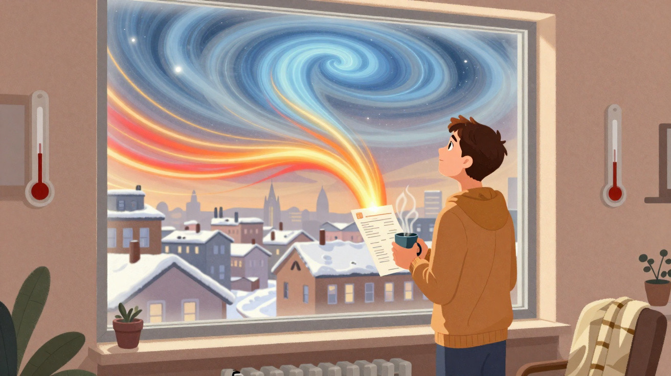
On a grey January morning in Berlin, the cold felt somehow off. There was a nip in the air, but only a mild one, as though winter were putting on an act. A week before, the city had enjoyed an almost spring-like 14°C: people sat outside with coffees in light coats, while children pulled off their gloves because “it’s too warm, Mum.” Now the sky had the metallic cast that normally signals snow, but none arrived. There was only a strange, empty chill.
Meteorologists, however, were focused on something far beyond the clouds over Berlin: an intense pulse of warmth in the stratosphere, tens of kilometres above the Arctic.
They understood that the scene unfolding on the pavements could be the first sign of a very different sort of winter.
When invisible heatwaves rewrite the winter script
Our assumptions about winter are often instinctive. We check long-range forecasts, consider El Niño or La Niña, then decide whether the coming season is likely to be “brutal” or “unusually mild”. But far overhead, well beyond anything we feel on our skin, the atmosphere is following a deeper and slower pattern.
High above the North Pole, sudden surges of warmth known as sudden stratospheric warming events, or SSWs, can alter a season weeks before we notice any change at ground level. From below, these episodes appear unremarkable. There are no crimson sunsets or spectacular storms, only a remote shift in the atmosphere that can quietly recast winter conditions across entire continents.
Europe saw a striking example of this concealed chain of events in February 2018. Near the start of the month, satellites detected rapid stratospheric warming over the Arctic. Temperatures tens of kilometres above the ground rose by 30 to 40°C over only a few days.
Daily life continued normally at the surface. Then, roughly a fortnight later, the now-famous “Beast from the East” arrived. Britain froze, trains came to a halt in Germany and Rome experienced unusual snowfall. This abrupt change was not without a cause. It could be traced to that unseen burst of heat high above the pole, which weakened and split the polar vortex, allowing frigid air to flow south like water escaping a cracked bowl.
That is the disconcerting reality of modern winters: events beginning in the upper atmosphere can shape the cold season months later. A strong, steady polar vortex keeps cold air largely contained around the Arctic. When an SSW occurs, that structure may weaken, sway or break apart, allowing the cold to travel.
Researchers now associate many of Europe’s, Asia’s and parts of North America’s most severe cold spells with these stratospheric disturbances. They do not ensure snowmageddon on every occasion, nor do they “cause” every storm. What they do is shift the probabilities: like an unseen hand tipping a roulette wheel towards more blocking highs, more stagnant weather patterns and more extremes. Once you’ve seen that pattern, it’s hard to unsee it.
How polar vortex disruption reaches your doorstep
What, then, can you do with this information besides impressing people at a winter dinner party? A useful first step is to follow seasonal outlooks that refer to the polar vortex and the risk of SSWs. Some national meteorological services and specialist blogs publish weekly updates on conditions in the stratosphere.
References to a “major SSW” - particularly one that reverses the powerful west-to-east winds circling the pole - should be treated as an early warning. It will not tell you the exact date snow will fall on your street. Instead, it indicates that the odds for the coming 4–8 weeks have shifted towards sharper cold or volatile changes. That is the time to make quiet adjustments to plans, rather than waiting for the first snowflakes against the window.
North America in early 2021 provides another example. Meteorologists identified a substantial stratospheric warming event in late January. To most people, it sounded like an abstract technical detail, but some energy analysts, farmers and logistics planners took particular notice.
Two to three weeks afterwards, Arctic air surged south and Texas was hit by a historic freeze. Electricity systems failed, water pipes burst and supermarket shelves were stripped bare. An SSW alone did not “create” that emergency - painful infrastructure choices and policies also mattered. Even so, people who had recognised the atmospheric signs bought supplies sooner, arranged back-up heating or changed travel and freight schedules. Their lives were still affected, but the experience may have felt slightly less like a sudden blow and more like a dangerous wave already visible on the horizon.
The straightforward reality is that weather apps are excellent for the next 5–10 days but poor at revealing what February will genuinely feel like. This is where atmospheric warming events matter. They are not crystal balls, but they can change the wider pattern.
When the polar vortex is disturbed, the jet stream - the rapid current of air that guides storms - may bend and buckle. Some areas become trapped beneath high pressure, enduring dry cold or unbroken grey skies. Others remain under a persistent storm track, receiving weather system after weather system. The warming occurs far away and high above, but its effects are intensely local, influencing your heating costs, commute and whether your children’s school remains open. Seeing winter as a delayed response to events in the stratosphere weeks earlier can make its apparent chaos seem less random.
Reading SSW signals without losing your sanity
You do not need a PhD or a personal weather station to approach these swings more calmly. Think of it as understanding winter’s “moods”, rather than fixating on every individual day. If reports suggest an SSW may be forming, regard it as notice that winter could be entering a new phase.
You might distribute major outdoor plans across several weeks rather than commit everything to one weekend. You could inspect your home for draughty windows, clear gutters before a potentially snowier period, or book car maintenance a little sooner. Modest actions taken when the atmosphere first points to a change can lessen the impact once the weather pattern eventually turns.
Most of us know the feeling of a sudden cold spell derailing the week: frozen pipes, delayed trains, children unable to attend school and a mood that drops with the temperature. It is easy to feel caught out, then blame “unpredictable weather” or another failed long-range forecast.
Our expectations can quietly make matters worse. We expect winter to operate like a thermostat: lower it and conditions cool down; raise it and they warm up. Yet climate change and stratospheric disturbances are making winter resemble a glitchy playlist that skips from one track to another. Accepting that uncertainty - recognising that a mild December may still lead to a savage February - makes it less likely that you will be mentally unprepared. Let’s be honest: no one plans every day around seasonal outlooks. But checking them briefly when discussion of the polar vortex intensifies is increasingly common sense.
“Sudden stratospheric warmings don’t tell you if it will snow in your backyard on a Tuesday,” explains a European climate researcher I spoke to, “but they do warn you that the whole game board for winter is about to be rearranged.”
- Look out for references to the polar vortex and SSWs in national weather briefings during late autumn and mid-winter.
- Use these signs to schedule basic preparations, such as winter-proofing your home, inspecting heating systems and changing travel arrangements where possible.
- Recognise that extreme weather can follow mild periods: a quiet December does not ensure a gentle February.
- Follow one or two trusted meteorologists or institutions instead of every viral weather post.
- Keep in mind that long-range indicators can change: use them as guidance, not fixed promises written in snow.
Winters begin long before the first snowflake
Once you understand that winter’s character is negotiated weeks earlier above the Arctic, the season takes on an unusual sense of suspense. You begin to notice the subtle turning points: warmth surging through the stratosphere, the polar vortex beginning to wobble, or the jet stream suddenly looping south like a lazy river. None of this replaces the immediate experience of cold hands and slippery pavements, but it gives the chill another layer of meaning.
There is also a more troubling consideration. As the planet warms, some models indicate that these polar disruptions could happen more often or behave differently, making established patterns less reliable. Severe cold spells and unexpected thaws may sit alongside one another, sometimes separated by only days. For people whose jobs or routines depend on predictable seasons - farmers, city planners and parents managing schedules - this is not merely an abstract point of interest. It is a quiet force reshaping everything from energy bills to school timetables.
Perhaps the next time you walk outside during an unusually mild January day, you will pause briefly. You may feel the gentle warmth on your face and wonder what is taking place far above, in a place no one walks, where air currents may already be deciding between a mild end to winter and a brutally cold sting in the tail. Snow, or its absence, may still catch you by surprise. But you will know that winter does not simply arrive: it is set in motion weeks before we perceive it, first written in the language of invisible heat.
| Key point | Detail | Value for the reader |
|---|---|---|
| Sudden stratospheric warming reshapes winter | Surges of heat high above the Arctic can weaken the polar vortex and move cold air south weeks afterwards | Helps explain why winter can shift from mild to brutal apparently “out of nowhere” |
| Timing matters more than daily forecasts | SSWs shape the broad weather pattern for 4–8 weeks, rather than exact day-to-day conditions | Helps you organise travel, home preparation and energy use around phases rather than only 10-day forecasts |
| Simple habits reduce the shock | Following seasonal briefings, monitoring polar vortex updates and preparing early after an SSW | Lowers stress, prevents expensive surprises and makes chaotic winters at least partly easier to anticipate |
FAQ:
- Is sudden stratospheric warming the same as climate change? Not quite. SSWs are naturally occurring atmospheric events that have always happened. Climate change may affect their frequency or behaviour, but they are not the same as global warming itself.
- Can SSWs explain every cold spell? No. Plenty of cold snaps occur without a major SSW. These warming events are more often associated with larger, longer-lasting pattern changes of several weeks, particularly in Europe and Asia.
- How far in advance can experts see an SSW coming? Modern models frequently identify the risk 1–2 weeks beforehand, and occasionally somewhat earlier. Effects at the surface generally emerge around 10–20 days after the event starts.
- Does a weak polar vortex always mean heavy snow? Not necessarily. A disrupted vortex increases the likelihood of cold outbreaks and blocking patterns, but snowfall in your area also depends on moisture, storm tracks and local conditions.
- Where can I follow these events without getting lost in jargon? Seek seasonal updates from your national meteorological service, reliable climate blogs or a small number of respected meteorologists on social platforms who describe polar vortex and SSW developments in clear language.




Comments
No comments yet. Be the first to comment!
Leave a Comment