
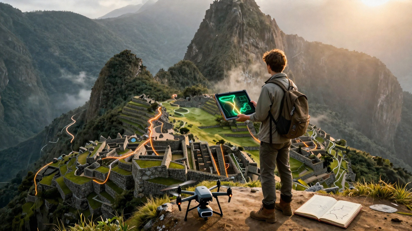
An apparently untouched forest surrounding Machu Picchu concealed something that decades of exploration had failed to record: more than 2.5 kilometres of ancient pre-Hispanic roads. By digitally stripping away the vegetation with laser technology, researchers exposed routes, possible agricultural terraces and platforms beneath Peru’s dense cloud forest.
What was found beneath the forest at Machu Picchu?
The features were located near the Mandor wall, east of Machu Picchu, where archaeologists had already carried out preliminary work in July 2023. Mountainous terrain and thick plant cover make ground-based exploration particularly challenging, allowing remains to stay almost entirely hidden.
Among the discoveries is a zigzagging road measuring at least 1.2 kilometres long. Its layout has traits linked to Inca construction methods, although researchers have not yet established its age. Consequently, it cannot yet be stated with certainty who built the route or what its original purpose was.
How did lasers reveal the concealed routes?
Researchers used LiDAR, short for Light Detection and Ranging. This technology sends laser pulses towards the ground and measures how long the signals take to return, making it possible to create highly detailed terrain models even in areas covered by trees and dense vegetation.
Once the data has been processed, some of the visual obstruction caused by the forest can be digitally removed. This brings subtle changes in the ground into view. Roads, terraces, foundations and other ancient structures that would be difficult to spot on foot become much clearer on digital maps.
Which structures appeared in the LiDAR scans?
The survey showed that the 1.2-kilometre road is only one element of a broader network. According to information released about the research, more than 2.5 kilometres of previously undocumented pre-Hispanic routes were identified, alongside other ground features that still require direct archaeological examination.
- A zigzagging road extends for at least 1.2 kilometres.
- The network of detected routes exceeds 2.5 kilometres of previously undocumented paths.
- Possible agricultural terraces were found beneath the vegetation cover.
- Platforms and other human-made alterations to the terrain will also be investigated.
These indications do not mean that every structure has already been identified or dated. LiDAR serves as a map to guide the next excavations and inspections. Only fieldwork can confirm how these features were built, when they were used and how they were connected to one another.
Why do archaeologists still need to investigate the site?
Cultural authorities in Cusco have requested targeted archaeological studies to establish the age, construction methods, purpose and state of preservation of the structures. They will also need to assess which remains require immediate protection and how they can be incorporated into Machu Picchu conservation programmes.
Maritza Rosa Candia, executive director of Cusco’s Decentralised Directorate of Culture, said that new technologies are expanding specialists’ understanding of the territory and helping determine where future research should be focused. Machu Picchu has been on the UNESCO World Heritage List since 1983.
Could the discovery change what we know about Machu Picchu?
Despite more than a century of archaeological research, the landscape around Machu Picchu continues to uncover unknown structures. The newly found roads may help specialists better understand how people, food and resources moved through the region, while also showing how areas now overtaken by forest were organised in the past.
The discovery also delivers a clear message: much remains to be found beneath Andean vegetation. From now on, every field investigation may turn laser-revealed lines into further pieces of history. Following this research means watching, in real time, the reconstruction of a territory that still holds secrets.




Comments
No comments yet. Be the first to comment!
Leave a Comment