
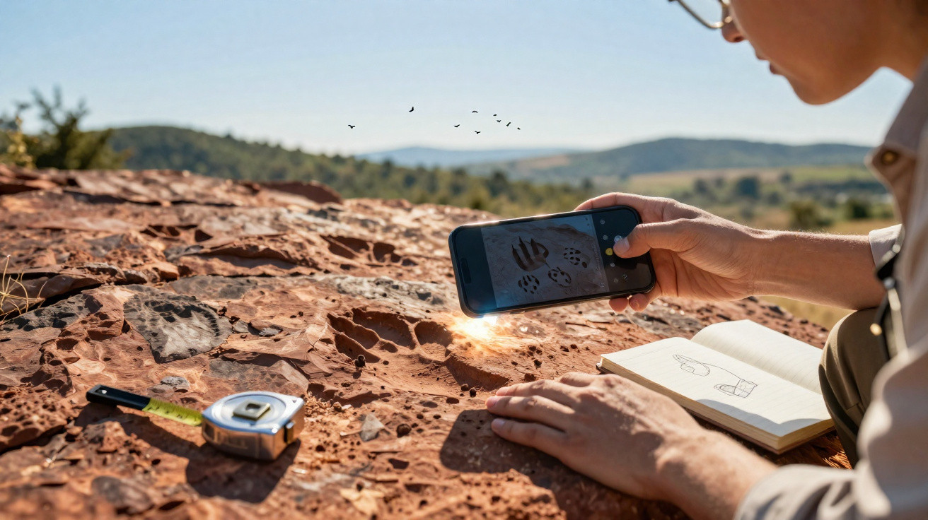
Researchers in Tübingen, Manchester and Berlin have created an artificial intelligence system that automatically analyses fossil dinosaur tracks. The software identifies patterns that specialists have not previously observed – and reveals striking similarities with the feet of modern birds. Even amateur fossil hunters could take part using a photograph from a mobile phone.
How an app makes ancient dinosaur footprints readable in a new way
Identifying dinosaur tracks normally demands considerable expertise – and a little luck. Many impressions survive only in part, have become distorted or have been damaged by erosion. Assigning them to a particular type can therefore become difficult detective work, with two experts quite capable of reaching different conclusions.
This is precisely where the “DinoTracker” project comes in. It is an artificial intelligence system that measures footprint shapes objectively and compares them with thousands of reference records. Its foundation consists of more than 2,000 digitised outlines of three-toed dinosaur tracks from around the world, dating from 200 to 145 million years ago.
The AI converts ancient footprints into measurable shape data – and places them within a “morphological space” that exposes relationships the human eye can easily miss.
The tracks were first reduced to their outlines and standardised into a common format. This enables the algorithm to focus solely on geometry: the impression’s length and width, the angles and spacing of the toes, the shape of the “heel area”, and the track’s symmetry. Using these properties, the software builds an eight-dimensional space in which every track is represented by a point.
Unsupervised learning: the AI sorts tracks without instructions
What makes DinoTracker distinctive is that the AI is not supplied with labels such as “theropod” or “early bird”. Instead, it uses a machine-learning approach known as unsupervised learning. The system independently searches the data for patterns and groups, without being told in advance which shapes should belong to which animal group.
This helps the team avoid a central weakness of conventional approaches: many traditional databases include old classifications that are, in some cases, uncertain. If an AI is trained on such labels, it automatically inherits their mistakes. Here, only the shape matters, rather than the name of the presumed trackmaker.
To make the system more resilient, the researchers also generated more than 10,000 artificially altered tracks. In these simulations, toes were widened, partly “wiped away”, twisted or stretched – just as can happen in real sediment when a heavy dinosaur steps into wet mud.
- Wider tracks: to replicate muddy ground
- Partly erased toes: for eroded or damaged impressions
- Twisted tracks: for sloping surfaces or hillsides
- Deformed shapes: for pressure changes caused by weight and movement
On this basis, the AI extracts eight key shape variables, which it uses to group the tracks according to similarity. In tests involving well-preserved impressions, the system agreed with experts in around 90 per cent of cases – while remaining consistent regardless of an individual’s day-to-day judgement or personal experience.
Tracks resembling bird feet – but 210 million years older
The findings become especially intriguing when it comes to bird evolution. The data contain very ancient tracks that bear a remarkable resemblance to the feet of modern birds. Some of these impressions are more than 210 million years old, placing them in the Late Triassic – long before the oldest currently dated bird fossils from the Late Jurassic.
The AI identifies several characteristic features in these tracks:
| Feature | Similarity to modern birds |
|---|---|
| Narrow, three-toed shape | Resembles the print of a large flightless bird |
| Strong longitudinal symmetry | The left and right sides are almost mirror images |
| Small spacing between toes | Toes point forwards relatively closely, rather than splaying widely |
This combination permits two interpretations: either bird-like evolutionary lineages began much earlier than previously thought, or certain predatory dinosaurs of the Triassic already possessed feet remarkably close to the structural blueprint of later birds.
The AI does not assign species names; it only measures shapes. That is precisely what makes its evidence for bird-like feet so significant: interpretation rests with people, not the machine.
The researchers see the results as a potential transitional sequence. When the ancient tracks are compared with younger impressions from the Jurassic and Cretaceous, similar shapes repeatedly emerge. This suggests a gradual movement towards the “bird foot”, rather than a sudden leap.
Citizen science: anyone finding dinosaur tracks can submit them by mobile phone
DinoTracker is not intended solely for laboratories. The software also operates as a mobile application with a straightforward interface for non-specialists. Anyone who spots a suspicious track while walking or at a known fossil site can photograph or sketch it and upload it to the app.
The AI automatically marks key points, measures angles and distances, and positions the impression in morphological space. Users then receive an assessment of which known track types their discovery most closely resembles – as well as how confident the system is in that classification.
Every submitted track that is subsequently checked expands the database. The researchers examine unusual finds, compare them with known sites and decide whether they should be added to the training dataset. In this way, a network of professional institutions and committed amateurs gradually develops.
Why collecting data through the DinoTracker app is so appealing
For palaeontology, this represents a major advance:
- Fieldwork in remote areas can be documented more effectively.
- Regions with few specialists can still provide high-quality data.
- Rare track types can be noticed more quickly because they “stand out” in the AI space.
- All newly submitted tracks follow the same standard, regardless of who reports them.
Standardisation is particularly important. Until now, many dinosaur tracks have existed only as old photographs, hand-drawn sketches or written descriptions. The new approach places every observation within a clearly defined quantitative framework. This makes comparisons possible across continents and decades.
What terms such as “morphological space” actually mean
For non-specialists, an “eight-dimensional morphological space” can quickly sound like science fiction. At heart, it is a coordinate system that records quantities other than length, width and height: for instance, the angle between two toes, the ratio of toe length to heel, or the degree of sideways deviation.
Each track is assigned a number for each of these measurements. Together, those numbers form one point. Tracks that resemble one another appear as points close together, while strongly differing forms are positioned far apart. This makes it possible to identify clusters without anyone defining in advance what is “typical” or “atypical”.
That is exactly why the method is so interesting for evolutionary questions. Whether a track belongs to an early bird species, a theropod or something else remains open at first. Only at the next stage do specialists compare these neutrally formed groups with skeletal finds and geological evidence.
Opportunities, limitations and potential next steps
The AI does not replace field research; it shifts its focus. People must still locate and document tracks and establish their context: which rock layer contains them? What other fossils occur nearby? Which sediments indicate which environment?
There are risks too. A dataset dominated by well-studied regions could lead the AI to treat rare forms from poorly researched areas as “errors”. Researchers therefore need clear rules for dealing with outliers – whether to discard them or investigate them specifically.
At the same time, the opportunities are enormous. The underlying technology can be adapted relatively easily for other traces: vertebrate trackways, invertebrate drag marks, plant impressions, and even fragments of bones and shells. Wherever shape matters, objective AI-assisted measurement can help.
This creates a new area of activity for young people, school geology clubs and local natural history societies. Anyone who understands the basics – such as how to photograph, measure and document an impression properly – can make contributions to genuine research. A walk along a fossilised coast can suddenly become a small building block in the wider picture of Earth’s history.





Comments
No comments yet. Be the first to comment!
Leave a Comment