
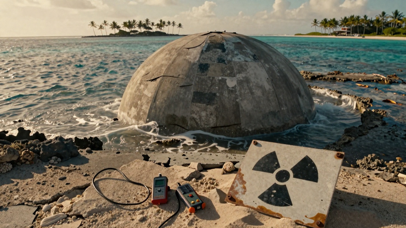
On Enewetak Atoll, in the Marshall Islands, the sun beats down on a grey concrete slab sitting at the edge of the Pacific like a forgotten lid. At first glance, the Runit Dome is not especially dramatic: a vast circular structure, worn by salt and sea spray. Yet beneath its surface, the United States deposited thousands of cubic metres of soil, debris and materials contaminated by nuclear testing during the Cold War. Local people know the site, see it from afar and live alongside it. We all know the feeling when an old problem returns at the worst possible moment; here, that problem is radioactive, while the ocean is rising. The concrete is ageing, but the sea never stops.
The Runit Dome: a Cold War scar in the Pacific
The Runit Dome lies in the crater left by the “Cactus” nuclear test, carried out on Enewetak Atoll in 1958. From 1977 to 1980, the US military placed contaminated soil and waste from the island clean-up there, then sealed the site beneath a thick layer of concrete. Seen from above, the structure resembles a coin dropped on a blue carpet. At ground level, it tells a different story: that of a territory turned into a nuclear testing ground and then, in a rudimentary way, closed over.
The figures are staggering, although they do not always convey what local families endured. The United States conducted 43 nuclear tests on Enewetak between 1948 and 1958, displacing residents and permanently disrupting the soil, reefs and ways of life. The dome is estimated to hold around 111,000 cubic metres of contaminated material, according to estimates frequently cited by US authorities and international observers. This is no ordinary waste site: it is a military legacy placed on a fragile atoll.
The term “crack” is often used, sometimes alarmingly, and needs to be understood accurately. The dome’s concrete shows signs of age, while the structure was never designed as a completely watertight enclosure; interaction with groundwater already occurs in this porous coral environment. The real risk is therefore not simply the image of a wave suddenly breaking open the lid. Rising sea levels, storms and erosion may gradually weaken a site whose lifespan was never planned on a centuries-long scale.
As the concrete ages, monitoring can no longer remain a distant concern
For Marshall Islands residents, the first practical step is to demand regular, accessible and independent monitoring around Runit: water testing, sediment checks, radioactivity monitoring and inspections of the concrete’s condition. Technical data exist, but they are often difficult to understand for people living only a few kilometres from the site. A clear map, published samples and local meetings would already change the nature of the discussion. When information arrives too late, fear fills the silence.
The most common mistake would be to believe that a simple concrete wall can, by itself, solve nuclear contamination. Let us be honest: nobody really does that every day, thinking about waste produced seventy years ago while daily emergencies continue to pile up. Even so, Enewetak shows that containment must be maintained, funded and checked over time. The United States, which carried out the tests and organised the clean-up, remains central to that responsibility, even if the consequences are unfolding far from Washington.
The issue extends beyond Runit alone, because small island states are often the first to bear the consequences of decisions made by major powers. As former UN Secretary-General António Guterres said about the Pacific islands:
“The Pacific is on the front line of the climate crisis.”
The issues requiring attention are practical:
- changes in cracks and erosion on the dome;
- the movement of water beneath the structure;
- health protection for communities living on the atoll;
- US funding for a lasting response.
When rising seas expose what the world chose to forget
Runit is not merely a geopolitical curiosity spotted in a satellite image. It is a warning positioned at sea level, in a region where residents are already watching tides claim more land, salt the soil and make some areas increasingly vulnerable. Concrete may create an impression of strength, almost of a story brought to an end. But in the tropics, amid cyclones, humidity and a changing ocean, nothing remains fixed for very long.
| Key point | Detail | Value for the reader |
|---|---|---|
| A dome built after nuclear testing | The Runit Dome was constructed between 1977 and 1980 inside a crater created by the 1958 “Cactus” test. It contains contaminated soil and debris collected during clean-up operations on Enewetak Atoll. | Understand that the site is not the result of a recent accident, but the direct outcome of past military decisions whose effects continue today. |
| A structure that was never fully watertight | The dome’s base sits on porous coral ground. The issue is therefore not limited to any visible cracks: exchanges between groundwater, sediment and the ocean are part of the problem. | Avoid alarmist shortcuts while recognising the reality of environmental risk on an atoll particularly exposed to storms and erosion. |
| Rising sea levels make the situation more urgent | Sea-level rise and the possible intensification of extreme events may weaken coastal infrastructure. Runit also represents the Marshall Islands’ vulnerability to climate change. | Connect a long-buried nuclear issue with today’s concerns of climate justice, public health and international responsibility. |





Comments
No comments yet. Be the first to comment!
Leave a Comment